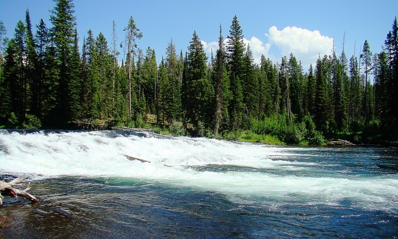
What can I do and see along the Fall River?
- Fishing: The Fall River is home to a unique crossbreed of fish known as the "cutbow." You can access the Fall River from Cave Falls Road. If you want to travel further into the backcountry along the Fall River, it requires fording the Bechler River. Otherwise you can wander the shores of the Fall River right near the Cave Falls Road.
- Hiking: From the end of Cave Falls Road, follow the Bechler River Trail to the Bechler Falls and return for a nice shorter hike. Otherwise, plan a backpacking route deep into the park. The Bechler River Trail runs 28 miles between Cave Falls and the Lonestar Geyser Trailhead near Old Faithful.
- Camping: There is a National Forest Service campground just outside the park boundary along Cave Falls Road. Open during the summer months only. $10/night.
Where is the Fall River?
Located in the remote southwest corner of the park, the Fall River is anything but easily accessed from the rest of Yellowstone National Park. The most direct route is to leave the West Entrance of the park, drive south to Ashton, Idaho, and head east of Ashton on the Ashton-Flagg Ranch Road. Turn left onto Cave Falls Road until it dead ends at the Cave Falls Trailhead. This access point requires fording the Bechler River (which can only feasibly be done at low water).
If you want to visit the upper reaches of the Fall River, you can also access it by the poorly maintained Fish Lake Road. This route requires 4WD. From the turn off to Cave Falls Road, continue east on the Ashton-Flagg Ranch Road for about 20 miles. Turn left onto Fish Lake Road and drive 2 miles to Fish Lake. From here you can join up with the South Boundary Trail and follow it to Fall River. Backcountry travel skills are required!
When is the Fall River accessible?
The two primary access roads (Cave Falls and Ashton-Flagg Ranch) close in the winter and the high water runoff really only make the Fall River accessible in the late summer and early fall.


