Beaver Ponds Loop Trail
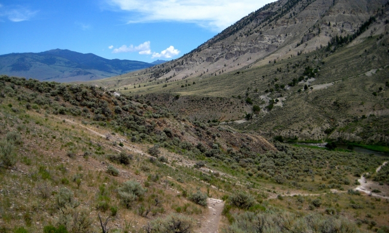
After climbing the initial push 350 feet up Clematis Gulch, the trail meanders through meadows and aspen groves until reaching a few beaver bonds. This is a great trail for viewing wildlife.
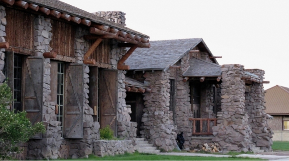
- Trailhead: Clematis Gulch between Liberty Cap and the stone house (Judge's house) just next to Mammoth Terraces
- Distance: 5 mile loop
- Difficulty: Moderate to Strenuous
Sepulcher Mountain Trail
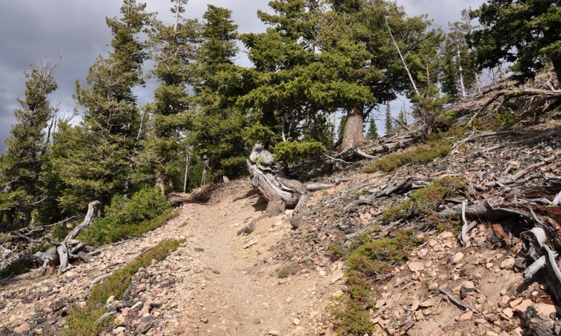
Follow Beaver Ponds Trail to Sepulcher Mountain Trail junction. Climb 3,400 feet quickly through forest and meadow to the summit of Sepulcher at 9,652 feet. Either return the way you came or connect with the Howard Eaton Trail to Mammoth Terraces.
- Trailhead: Same as Beaver Ponds Trail
- Distance: 11 miles round-trip
- Difficulty: Strenuous
Bunsen Peak Trail
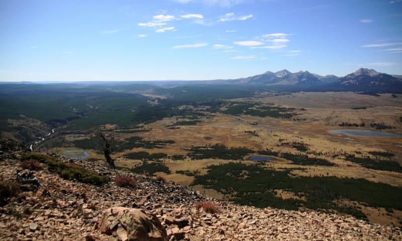
This gradual 1,300 foot climb to the top of Bunsen Peak offers great panoramic views. Check out Blacktail Plateau, the Gallatin Mountain Range, and the Yellowstone River Valley from the top. On your way back down, take a side trail to see Osprey Falls. Note: You can ride your bike along Old Bunsen Road until the start of the trail.
- Trailhead: Entrance of the Old Bunsen Peak Road, five miles south of Mammoth toward Norris
- Distance: 4.2 miles round-trip
- Difficulty: Moderate to Strenuous
Osprey Falls Trail
From Bunsen Peak Road, follow the Osprey Falls Trail 700 feet into Sheepeater Canyon. This is one of the deepest canyons in Yellowstone. You can admire the 150 foot Osprey Falls along the Gardner River. You can ride your bike along Bunsen Peak Road to the Osprey Falls Trail.
- Trailhead: Same trailhead as Bunsen Peak Trail
- Distance: 8 miles round-trip
- Difficulty: Strenuous
Lava Creek Trail
The trail links the Lava Creek Picnic Area to the Mammoth Campground. Follow the trail past Undine Falls until it meets Gardner River.
- Trailhead: The bridge at Lava Creek picnic area on the Mammoth-Tower Road
- Distance: 3.5 miles one way if you run a shuttle or 7 miles round-trip
- Difficulty: Moderate to Strenuous
Rescue Creek Trail
This trail links the Blacktail Deer Creek to the North Entrance Station. The trail ascends through aspens and meadows and eventually descends 1,400 feet to the Gardner River.
- Trailhead: Blacktail Trailhead on the Mammoth-Tower Road, seven miles east of Mammoth or 1 mile south of the North Entrance Station.
- Distance: 8 miles one way if you run a shuttle or 16 miles round-trip
- Difficulty: Moderate
Blacktail Deer Creek-Yellowstone River Trail
Descend 1,100 feet to the Yellowstone River to join the Yellowstone River Trail, which follows the river to Gardiner.
- Trailhead: Same as Rescue Creek Trail
- Distance: 12 miles one way
- Difficulty: Moderate to Strenuous
Wraith Falls
This is a great hike for families as it strolls through forest and sagebrush to Wraith Falls along Lupine Creek.
- Trailhead: 1/4 mile east of Lava Creek Picnic area on Mammoth-Tower Road
- Distance: 1 mile round-trip
- Difficulty: Easy


